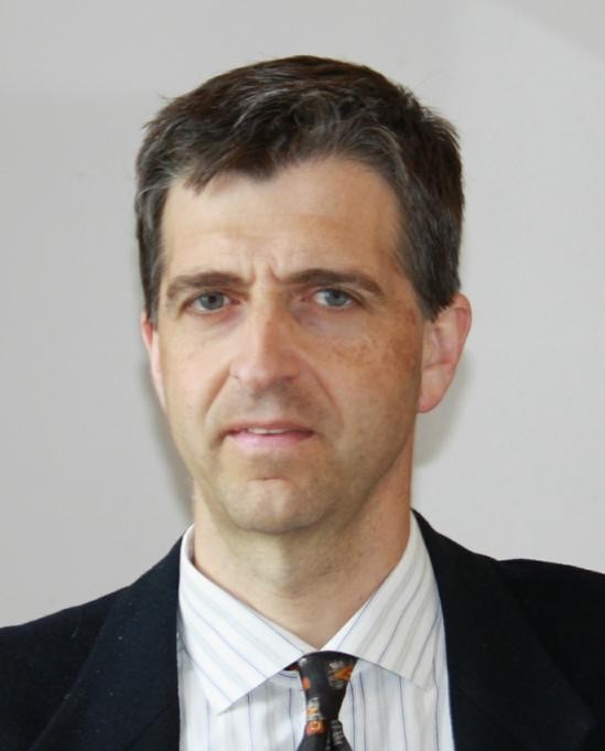
 Biography: Andrea Monti Guarnieri, M.Sc. cum laude (1988) in electronic engineering, IEEE-member, full professor within “Dipartimento di Elettronica, Informazione e Bioingegneria”. He has been teaching several courses on digital and statistical signal & image processing, telecommunications and RADAR.
 Prof. Monti Guarnieri co-authored over 200 scientific publications, of which 45 international peer reviewed publications, (H-Index 29, ~4000 citations); he was awarded four “Best Paper” in international symposia (IGARSS '89, EUSAR 2004, EUSAR 2012, IET 2015) and he is co-author of four patents. He is reviewer of journals in remote sensing, signal processing, image processing, geophysics, geodynamics and antennas and propagations, and he has been in many technical boards of SAR and RADAR conferences. In 2014 he was appointed by the board of directors member of Technical-scientific Committee of Italian Space Agency (ASI). In 2016 he has been nominated by the Italian ministry alternate member in the High Level Working Group of GEO.
Title: Geostationary SARs for continuous SAR imaging: systems and application
Abstract: This age is experiencing an increase and densification in systems for ubiquitous and continuous remote sensing. Constellation of optical and SAR sensors attains the sub-metric resolution and nearly daily revisit, while drones are becoming the primary source for fast surveillance and small scale observations, even in presence of cloud cover. In this frame, dense SAR systems are developing fast, and dense constellations of cubesat and micro-satellite are planned for the near future.
The capability of all-day-all-weather observations, makes of SAR a game changer in the future of monitoring and surveillance and, in this respect, a constellation placed in geostationary orbit is the most effective in providing fast revisit and super-continental access.
In the keynote, we review the concept of geostationary SARs, in a seamless configuration from a single satellite to a constellation, the pie in the sky. We discuss about orbits, technologies and challenges, occurring from atmospheric turbulence, target motion in the long integration time and interferences from on-ground and on-space systems.
We then discuss about applications, we show the potentials of coherent change detection for surveillance and mapping damages after hazards, and latest results in SAR interferometry particularly in precise deformation monitoring, penetration in canopies and subsurfaces (glacier and deserts), 3D imaging of volumes, sensitivity to soil moisture and generation of water vapor maps.